WELCOME

GAIA | Geospatial Artificial Intelligence Agent
What is GAIA?
In Greek mythology, Gaia was the personification of Earth and the mother of all life. Inspired by that idea, GAIA helps people understand what is happening on the land around them by turning satellite imagery, weather data, soil information, AI models, and scientific knowledge into plain-language answers. Users define a field or location, ask a question, and receive maps, risk indicators, trends, or recommendations that support agricultural and natural resource decisions in minutes instead of days.
OUR MISSION
To Make Earth observation intelligence accessible through simple, conversational AI.
ACCESS
Provide easy access to Earth Observation information through a chat interface.
INTELLIGENCE
Maintain tailor-made AI algorithms for accurate satellite data analysis.
ACTION
Cater access of necessary resources to stakeholders.
Data-Backed Environmental Insights
Make informed decisions with analytics designed to measure real impact.
" width="691.5px"><path d="M 607.5 288.5 L 327 126 L 274 5.5 L 327 126 L 607.5 0 L 327 126 L 0 0" fill="transparent" height="288.5px" id="WGYoMSUUa" stroke-dasharray="0" stroke-linecap="butt" stroke-linejoin="miter" stroke-miterlimit="4" stroke-width="2" stroke="rgba(0, 0, 0, 0.17)" transform="translate(50 0)" width="607.5px"/><path d="M 0 297 L 377 0 L 350 174.5" fill="transparent" height="297px" id="qGRTrWnnb" stroke-dasharray="0" stroke-linecap="butt" stroke-linejoin="miter" stroke-miterlimit="4" stroke-width="2" stroke="rgba(0, 0, 0, 0.17)" transform="translate(0 126)" width="377px"/><path d="M 652 51.5 L 337.5 0 L 0 111" fill="transparent" height="111px" id="Kt6r4wz2P" stroke-dasharray="0" stroke-linecap="butt" stroke-linejoin="miter" stroke-miterlimit="4" stroke-width="2" stroke="rgba(0, 0, 0, 0.17)" transform="translate(39.5 126)" width="652px"/></g></svg>)




" height="20px" id="T363aQOCL" transform="translate(0 -1)" width="25px"/></svg>)
" height="6.5454545454547315px" id="wdX4wmAnD" transform="translate(9.288 5.455)" width="6.96631445312164px"/><path d="M 0.104 8.397 C 1.831 3.519 6.727 0 12.501 0 C 18.272 0 23.166 3.516 24.896 8.389 C 25.035 8.784 25.035 9.209 24.896 9.603 C 23.169 14.481 18.272 18 12.499 18 C 6.729 18 1.834 14.484 0.105 9.611 C -0.035 9.217 -0.035 8.791 0.105 8.397 Z M 12.5 3.273 C 9.134 3.273 6.405 5.837 6.405 9 C 6.405 12.163 9.134 14.727 12.5 14.727 C 15.867 14.727 18.596 12.163 18.596 9 C 18.596 5.837 15.867 3.273 12.5 3.273 Z" fill="rgb(0, 0, 0)" height="18px" id="SuvlIhFMq" width="25px"/></g></svg>)
GaiaBot can be used for
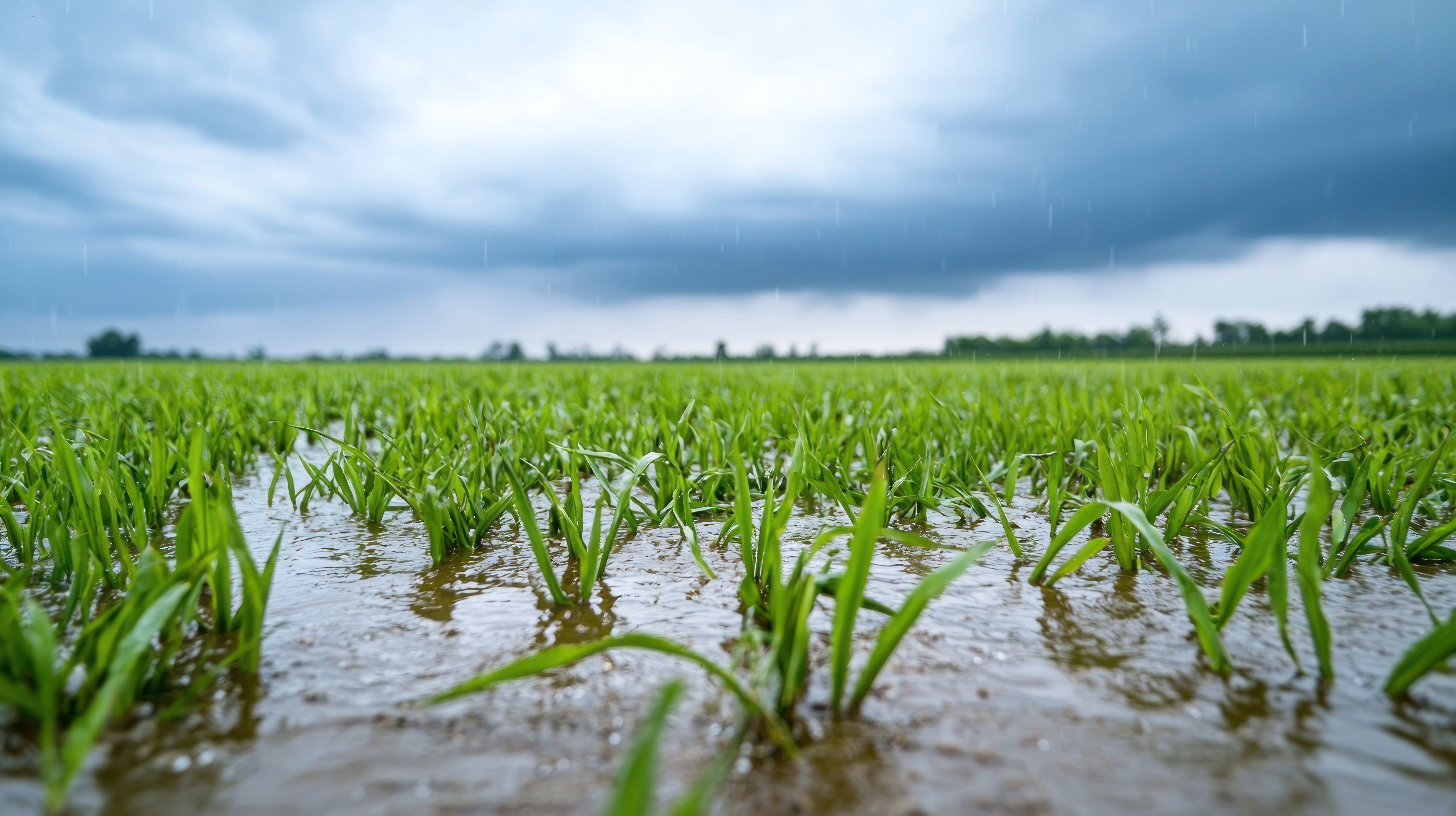
assessing flood risk pre and post Hurricane season.
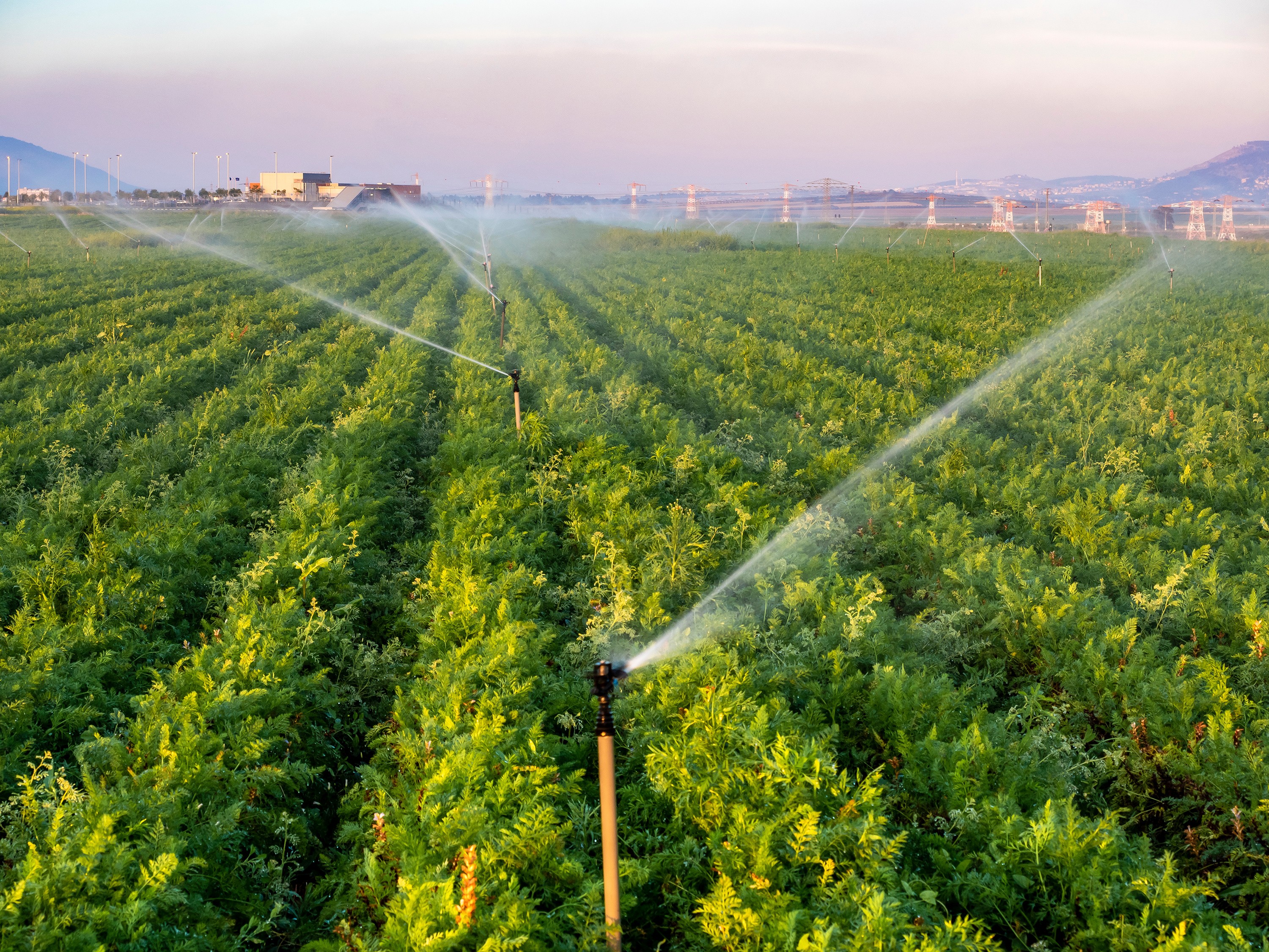
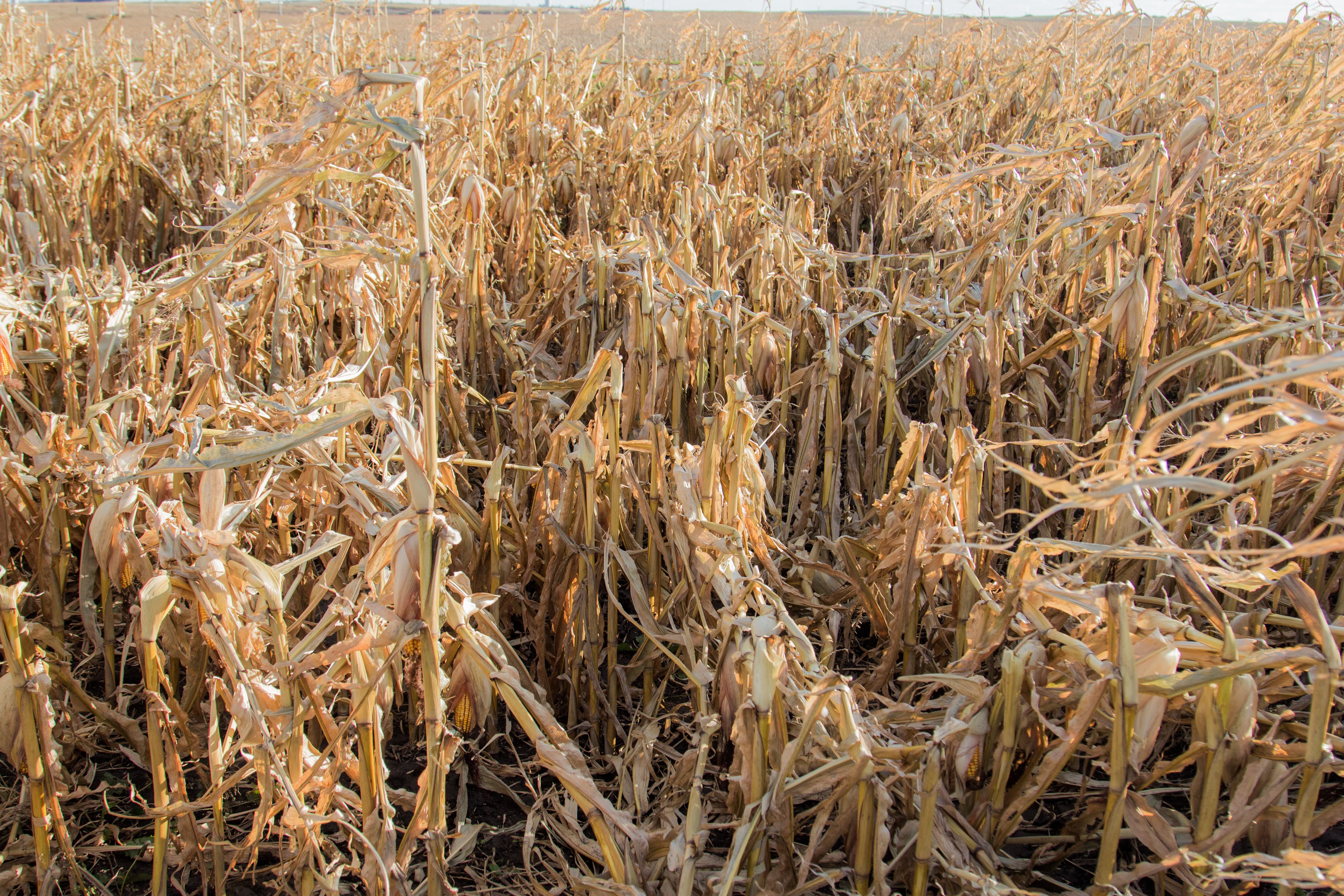
checking crop damage in your north field.
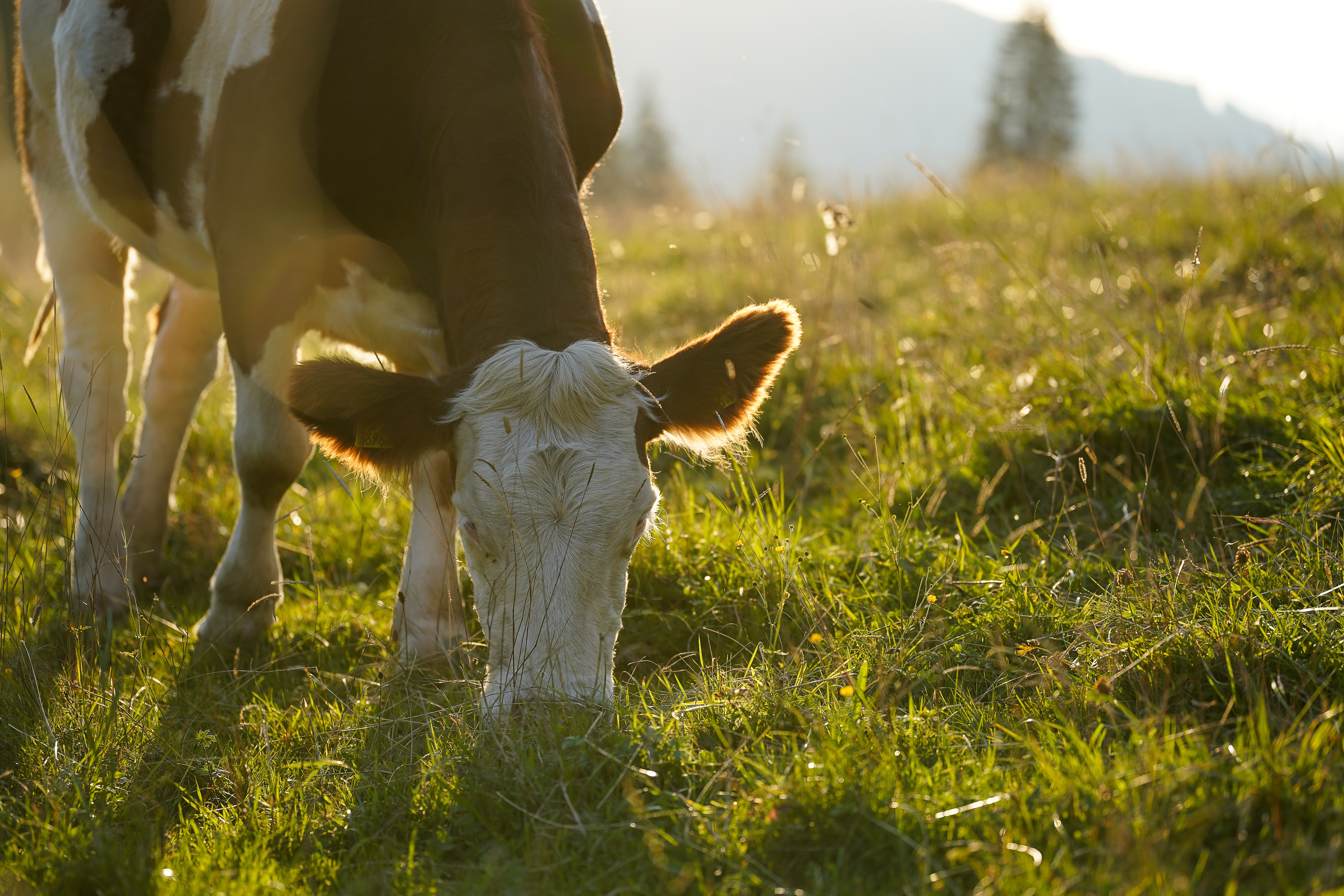
reading pasture conditions in cattle grazing fields.
THE PROBLEM
Why Traditional Methods Aren't Cutting It

Traditional sampling methods require time, labor, and long waits. With GaiaBot, your questions are answered instantly using the latest satellite
available, supplying data in between satellite passes with refined AI algorithms that reap success rates mirroring real physical sampling.
3 Steps.
No expertise needed.
HOW IT WORKS
FAQ
Questions?
We Have Answers
Do I need to know anything about satellites or GIS?
Not at all. You type your question the same way you'd ask a colleague. GAIA handles the satellite data, the analysis, and the maps behind the scenes.
How current is the satellite data?
GAIA uses Sentinel-2 imagery updated every 5 days. During active disaster events, the system prioritizes the most recent available pass for your area.
Does it work for crops other than sugarcane?
Yes. GAIA uses vegetation indices that apply across crop types. Current development is focused on Florida agricultural systems, with broader crop support expanding through 2026.
Is my farm data private?
Yes. Field boundaries and query data are not shared with third parties. The system uses your inputs solely to retrieve and process satellite imagery for your area, along with saving previous conversations for ease of access on your end.
What if cloud cover blocks the satellite view?
GAIA flags low-confidence results caused by cloud cover and, where possible, uses the most recent clear-sky imagery available. Future updates will incorporate radar data to see through clouds entirely.

