Hurricanes, Floods, & Crop Damage
GAIA helps growers, Extension teams, and recovery planners assess crop and field vulnerability before, during, and after major storm events. By combining satellite imagery, environmental conditions, flood-risk indicators, and crop stress signals, GAIA can support faster inspection planning, damage assessment, and recovery decisions.
The Problem
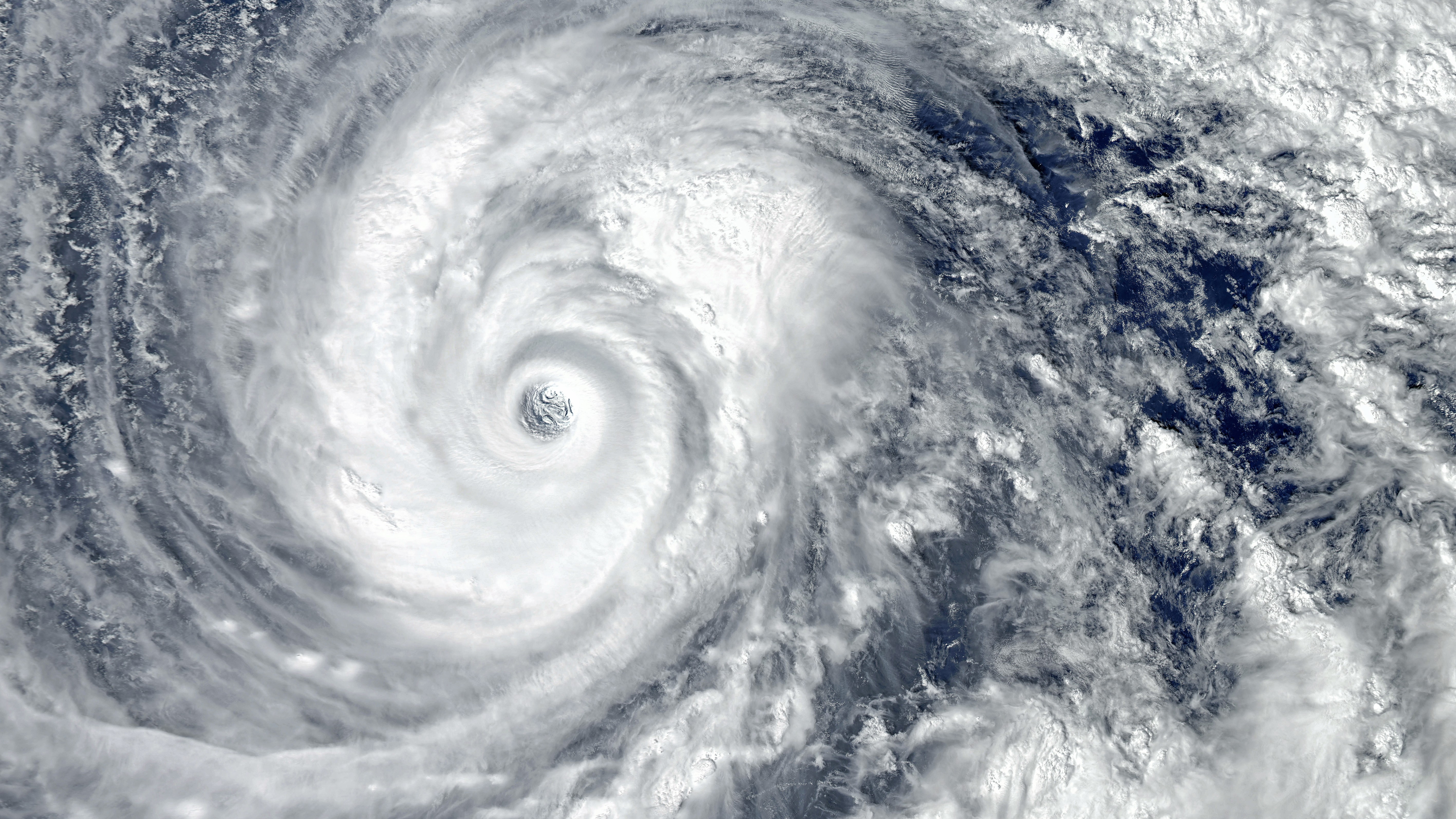
Hurricanes and flood events move faster than traditional reporting workflows. Before landfall, growers and Extension teams need to understand which fields are most vulnerable to flooding, crop stress, and potential damage. After the storm, they need rapid answers for insurance, outreach, inspection planning, and recovery support.
Instead of spending days or weeks collecting information from disconnected sources, decision-makers need a faster way to identify where risk is highest and where attention is needed first.
Data GAIA Can Combine
Satellite imagery
Field boundaries
Flood-risk indicators
Rainfall and weather conditions
Soil and drainage characteristics
Crop stress indicators
Vegetation condition
Historical field performance
Post-event imagery and environmental observations
User Questions
"Which fields are most vulnerable before the storm?"
"Which blocks should I inspect first?"
"How much of my crop may be affected?"
"Where is flooding most likely to reduce yield?"
"Which areas should be prioritized for recovery planning?"
GAIA Output
Pre-storm vulnerability ranking
Flood-risk and crop-stress summaries
Priority inspection zones
Estimated affected acreage
Field-level damage indicators
Recovery planning support
Plain-language explanation of risk factors
Outcome
What traditionally required one to two weeks of manual data gathering and interpretation can become field-ready intelligence delivered within hours. GAIA helps teams respond faster, prioritize limited resources, and make more informed decisions before and after severe weather events.